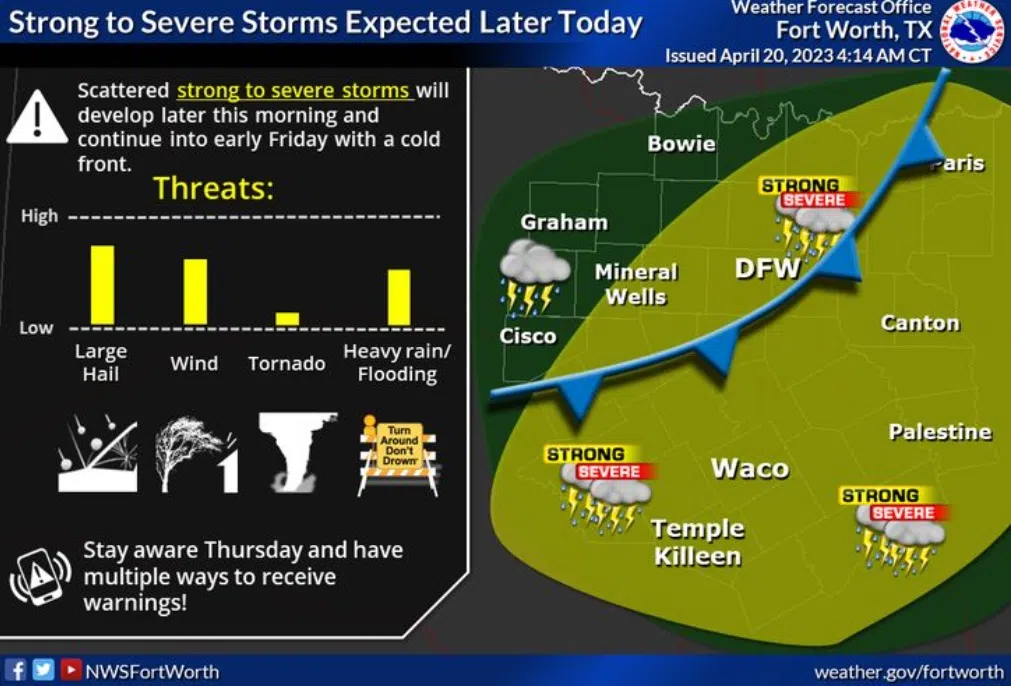
Scattered strong to severe storms will develop later this morning, then increase in coverage this afternoon and evening as a slow-moving cold front and upper disturbance impact North and Central Texas.
The greatest threats are large hail (some very large with discrete storms) and damaging winds to 65 mph. However, but a tornado or two can also not be ruled out…especially across eastern Central Texas into East Texas. Lastly, heavy rainfall amounts between 1 to 3 inches with isolated higher amounts across Central and East Texas may lead to a localized flooding threat. Storm chances come to an end from west to east on Friday.
A better chance for showers and storms will occur on Thursday with a chance of storms being severe.
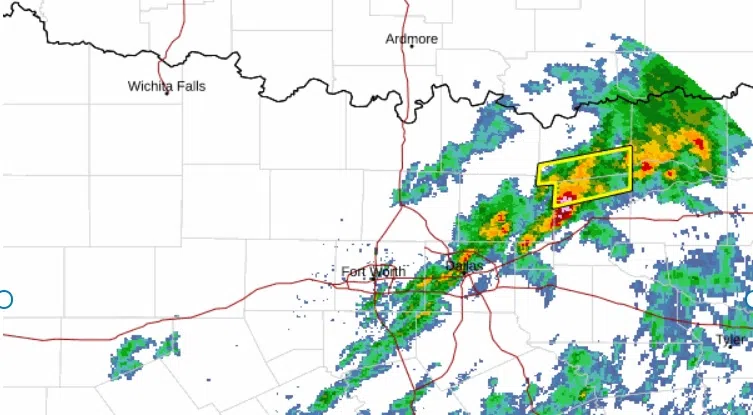
Thursday morning will be quiet but as a front moves into the area t-storms will form along that front.
Storms will start to form between 1 p.m. and 3 p.m. somewhere in and around the D-FW area. Then storms will move southeast during the rest of the afternoon into evening.